SPEED TRACKING
2026-02-09
The Canopy Crisis: Are GPS Speedometers Accurate Under Trees?
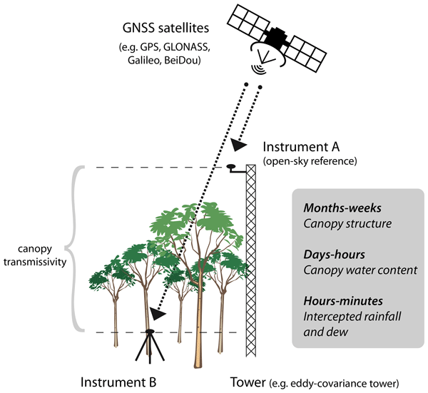
In dense foliage, the reliability of GPS velocity is challenged by microwave attenuation and multipath interference. Mastering your speed data in these environments requires a transition to multi-sensor telemetry.
1. The Physics of Signal Loss
Foliage acts as a moisture-rich shield that absorbs L-band satellite energy. This results in
Signal Attenuation, weakening the lock on satellites and increasing the Dilution of Precision (DOP). Furthermore, signals bouncing off tree trunks create
Multipath Errors, leading to erratic speed 'jumps' on your display.
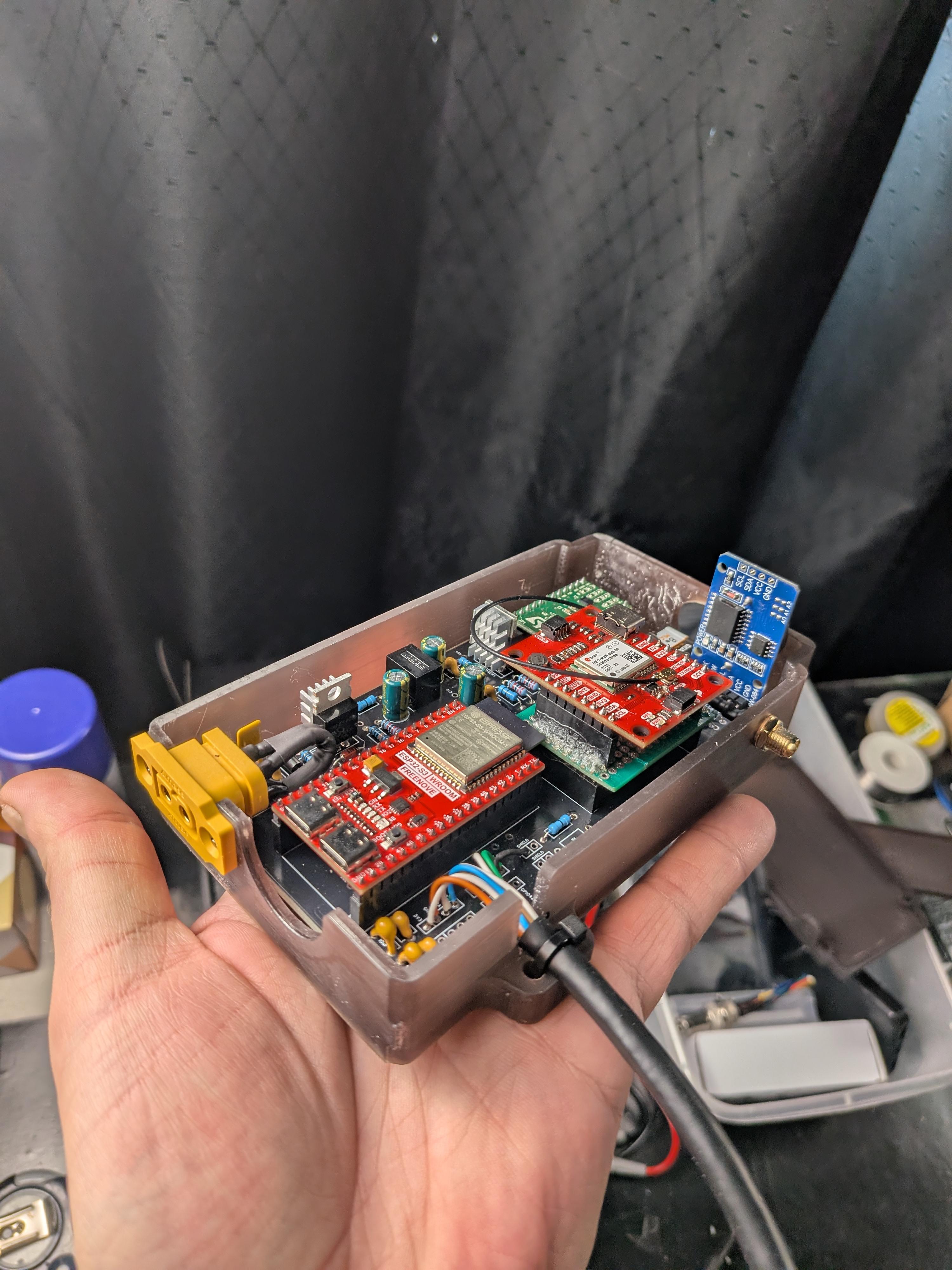
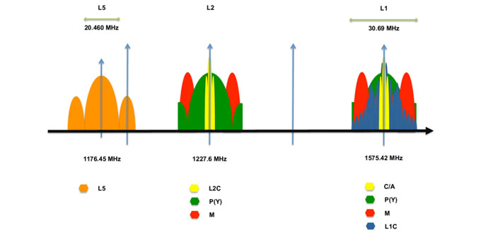
2. Technical Safeguards: L5 and Multi-GNSS
Modern receivers in 2026 utilize
Dual-Band L1 + L5 GNSS. The L5 frequency is specifically designed to be resistant to reflections, allowing the speedometer to distinguish between a direct satellite signal and a forest bounce. Combining this with Multi-GNSS support (Galileo, GLONASS, BeiDou) maximizes available line-of-sight opportunities.
3. Bridging the Gap with Sensor Fusion
To eliminate foliage-induced dropouts, advanced systems employ
Sensor Fusion. By integrating an
Inertial Measurement Unit (IMU), the vehicle uses dead reckoning to fill data gaps. When GPS signal integrity fails under the canopy, accelerometers provide the necessary inertial data to maintain a constant, accurate speed readout.
Conclusion
While the forest canopy presents a physical barrier to satellites, modern tech like L5 and IMU integration has minimized the 'Canopy Crisis.' For absolute data integrity, rely on a sensor-fusion approach that reconciles satellite telemetry with physical movement.